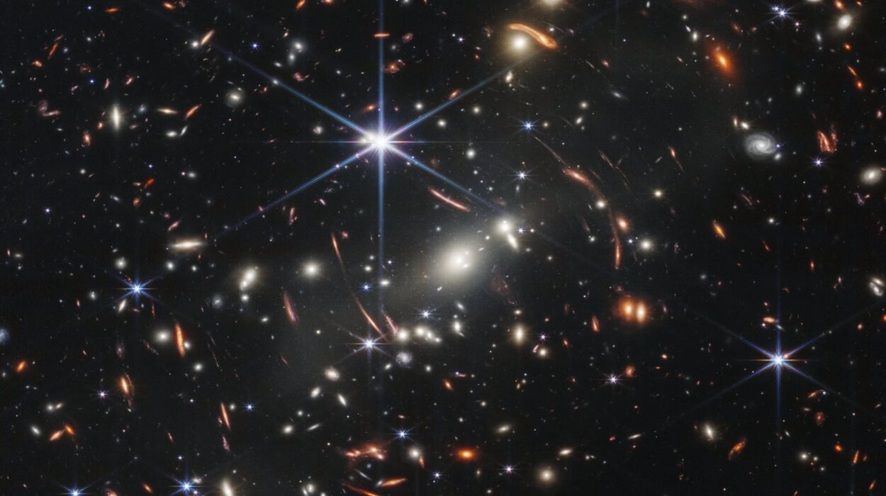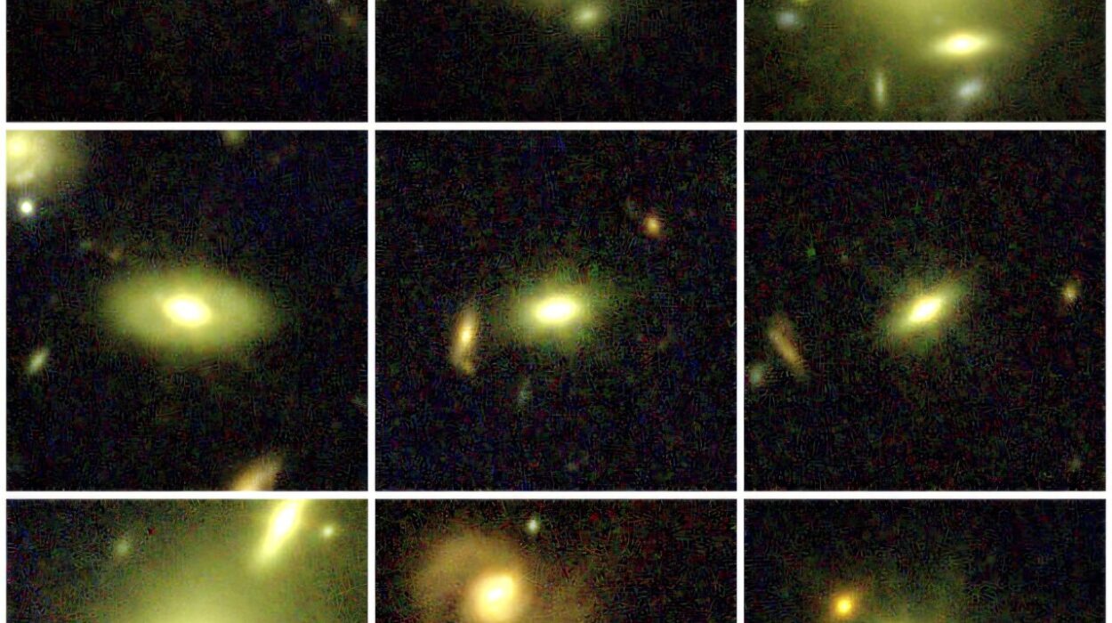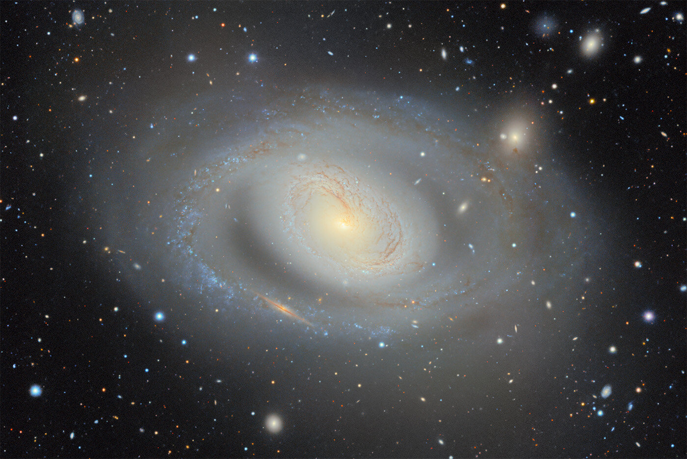
Astronomers have released the largest-ever two-dimensional color map of the universe, covering about 75% of the sky and placing nearly 4 billion stars and galaxies into a single dataset that is now open to researchers and the public.
The new map is the latest product of the DESI Legacy Imaging Surveys. It combines 263,407 telescope exposures collected over 2,285 nights, when atmospheric conditions and telescope performance varied from one observation to another.
Those images came from three ground-based surveys: the Dark Energy Camera Legacy Survey at NSF Cerro Tololo Inter-American Observatory, the Mayall z-band Legacy Survey at NSF Kitt Peak National Observatory, and the Beijing-Arizona Sky Survey at the University of Arizona’s Steward Observatory. Years of observations from NASA’s Wide-field Infrared Survey Explorer satellite mission and other public data were added as well.
The result contains 5.6 trillion pixels and nearly 4 billion celestial objects, primarily stars and galaxies. It covers roughly three-quarters of the sky in visible and near-infrared light, providing a deep view of the extragalactic sky in regions not blocked by the dust and stars of the Milky Way.
The data are publicly available through the Legacy Survey Sky Viewer, where astronomers and citizen scientists can explore the map and combine it with their own observations.
The map was built to support DESI
The Legacy Imaging Surveys were originally created to prepare for the Dark Energy Spectroscopic Instrument, or DESI. The two-dimensional map records where stars and galaxies appear and how bright they are.
That information allows DESI to choose objects for observation and measure their light at different wavelengths. Those measurements provide distances, helping DESI build what the source describes as the largest high-resolution three-dimensional map ever made.
Scientists use the distribution of galaxies at different ages of the universe to study dark energy over time.
The earlier versions of the Legacy Surveys had already become widely used in astronomy. More than 1,800 scientific papers referencing their data have been published.
“It’s part of the fabric of astronomy research now,” said David Schlegel, a co-lead of the Legacy Surveys and a scientist at the Department of Energy’s Lawrence Berkeley National Laboratory. “When you’re working with astronomical objects today, you often start by pulling up the Legacy Imaging Viewer to see what you’re looking at.”
DESI’s success required a larger map
The need for the expanded map became especially clear as DESI progressed. In April 2026, DESI completed its original five-year survey ahead of schedule and observed far more objects than expected.
The efficiency of those observations created a practical problem for the imaging survey. DESI needed more galaxies to examine, so the Legacy Surveys map had to expand.
“It became clear we might run out of galaxies to look at and run out of sky, and we better start doing something about that,” Schlegel said.
The new map has been used to select DESI targets since June 2026 and is expected to guide the telescope’s operations over the coming years.
DESI’s early results have also produced hints that dark energy’s effect may be weakening over time. The project expects to release improved results based on its first five years of data in 2027 and plans to continue observations into 2028.
Turning 263,407 exposures into one dataset
Combining the observations was a major computing task. The images were taken under different atmospheric and telescope conditions, so processing them into a single map required extensive computational work.
Developing the necessary computer code took about a year. Processing all of the images then took eight weeks on the Perlmutter supercomputer at the National Energy Research Scientific Computing Center at Berkeley Lab.
More than 160 scientists contributed to collecting the data, while a team of 20 produced the final dataset.
The resulting survey is also intended to serve as a reference for future observatories. Researchers will be able to compare observations from newer telescopes with the Legacy Surveys’ view of the sky.
The dataset can also be used to train artificial intelligence systems designed to analyze petabytes of astronomical data. It will be among the datasets used in an astrophysics pilot project within the American Science Cloud, part of the Department of Energy’s Genesis Mission.
For now, the map is available for anyone to explore through the Legacy Survey Sky Viewer. Researchers can use it to search for objects and events including gravitational lenses and supernovae, while also investigating questions involving dark matter and dark energy.