Beneath the ancient Egyptian city of Buto, archaeologists have identified a large structure buried 3 to 6 meters underground. The feature dates to the Saite period, about 2,600 years ago, and a small excavation at the site uncovered mudbrick walls and religious artifacts where the scans predicted the structure would be.
Buto, also known as Tell el-Fara’in, was occupied for thousands of years, from the Predynastic period around 3800 BCE through the Early Islamic era in the 7th century CE. The city was repeatedly built, destroyed and rebuilt, leaving archaeological remains layered beneath later construction and thick mud deposits.
That makes the deepest parts difficult to reach through conventional excavation. Later debris can cover older remains, while groundwater can make digging harder.
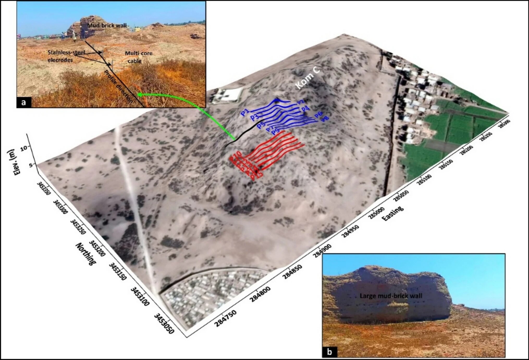
The researchers were testing a way to identify promising areas before extensive excavation began. Their approach combined satellite radar with a ground-based method called electrical resistivity tomography, or ERT.
They first used Sentinel-1 radar data to look for large features that stood out from the surrounding area. When the satellite detected an anomaly of interest, the team examined it more closely with ERT.
ERT works by sending electrical currents through electrodes placed in the ground. Differences in how underground materials conduct or resist electricity can then be used to build a three-dimensional picture of what lies below the surface.
The deeper scans pointed to a Saite-period structure
The surveys found different archaeological layers at different depths.
Within the upper three meters, the researchers detected broken pottery and debris associated with the later Roman and Ptolemaic periods. But between three and six meters underground, the scans identified a large, clearly defined structure.
Its depth and characteristics led the researchers to associate it with the Saite period, around 2,600 years ago. At that point, they considered the possibility that the buried feature was a large tomb or shrine.
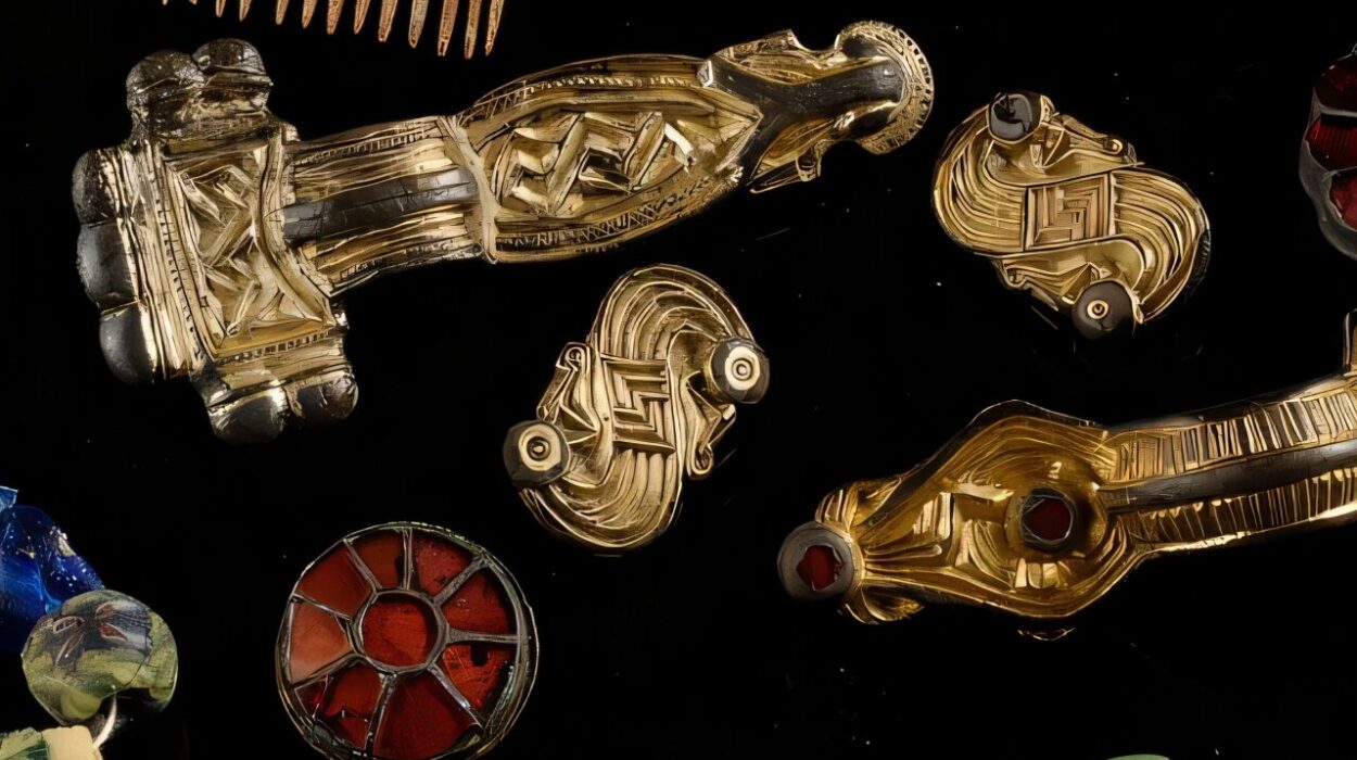
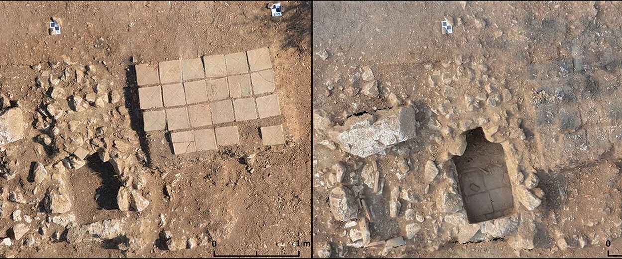
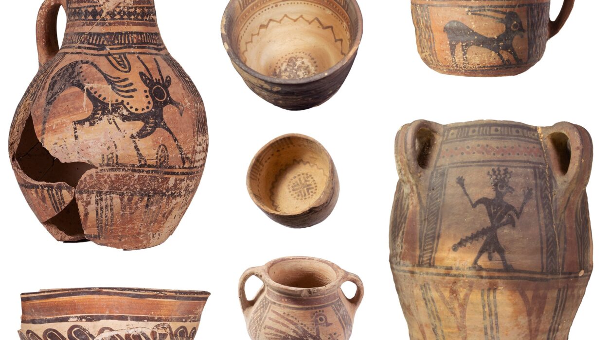
To test what the imaging had detected, the team excavated a relatively small 10-by-10-meter area. The dig exposed mudbrick walls and religious artifacts in the location predicted by the scans.
The excavation provided physical evidence corresponding to the structures identified through the geophysical survey.
Researchers plan to look deeper
The study focused on whether remote sensing and geophysical measurements could help map buried archaeological remains in a complicated, layered site.
The researchers reported that combining the two types of measurements provided an accurate picture of buried settlements. They also found that three-dimensional inversion algorithms were particularly effective at distinguishing buried mudbrick walls and other architectural structures.
The team plans to expand the surveys using larger equipment capable of examining deeper levels. Those surveys are intended to reach older layers beneath the structures already identified.
The study was published in Acta Geophysica.